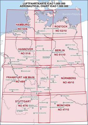
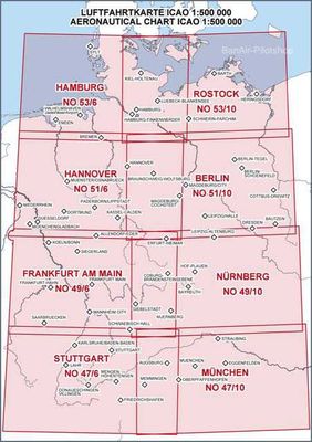
De ICAO Duitsland Kaarten zijn ook verkrijgbaar in zweefvlieg uitvoering of in nachtvlieg uitvoering of complete sets van alle 8 stuks, de complete sets zweefvlieg en motorvliegen staan erbij!
Bel of mail als u de nachtvlieg uitvoering per stuk wilt hebben!
De Zweefvlieguitvoering kunt u apart bestellen zie onder!
From north to south, east to west, or in the neighboring countries.
Issue 2025: The ICAO chart 1: 500,000 is the standard chart used for conducting VFR flights and shows the territory of the Federal Republic of Germany of the bordering countries (multicolored with forest print and shading). It contains important information concerning topography and air traffic control as e.g .:
Current airspace structure and topography
VFR reporting points
Aerodromes with name, location indicator and frequency, length and direction of the runway,
information on direction finders and location of the traffic pattern
FIS sectors with frequencies
Segelfluggelände, sites for hang gliders and ultralight aircraft,
Parachute descents, free balloon launch sites
Radio navigation aids (NDB, VOR, VOR / DME, VORTAC) with name, frequency and Morse Code identification
Air navigation obstacles and maximum elevation figures
Isogonals
Motorway names
Representation intensively used skydive terrain (skydive Symbol plus red circle)
The Aeronautical Chart ICAO 1: 500,000 on the rear panel next to an overview map for sheet lines include the following information:
Overview of the airspace structure in Germany
Information on transponder and altimeter settings
ATIS and VOLMET frequencies
light signals
Integrated coordinates ruler